CONTEXT
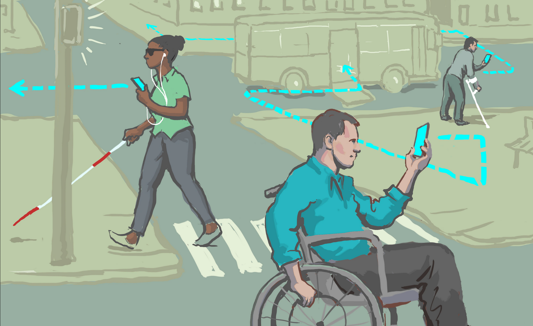
A major problem for people with disabilities, and therefore for their relatives and carers, is the lack of autonomy. Many cannot move on their own, at the risk of finding themselves on paths that are impassable or dangerous in their situation. We can cite the case of a staircase for a person in a wheelchair, sidewalks and passages not adapted for the visually impaired. However, means are put in place by the communities to facilitate the movement of these people such as tactile surfaces, sound signals, adapted transport lines. However, these services are not very centralized and the information related to them can change very quickly. The only way to take full advantage of these provisions and to avoid unforeseen events or impassable paths is to know the obstacles beforehand. The person would then find themselves in the same situation as if they already knew the city to which they are traveling.
Our solution
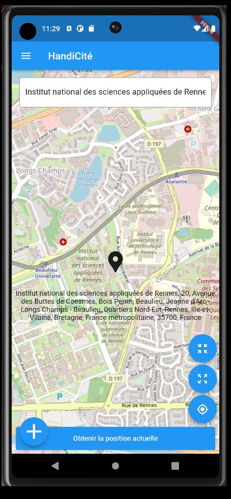
The Handicité project aims to provide a mobile collaborative navigation application to help people with disabilities to move around more easily. The application will take into account information such as the width of sidewalks and the presence of stairs to suggest passable routes for users. The project will use Rennes Métropole's OpenData to obtain real-time data on the city, and users will be able to enrich the application's database by filling in information on the difficulties they encounter on their journey and the places welcoming the public.
FEATURES
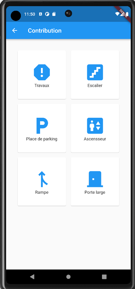
Contribution
Authenticated users have the possibility to annotate the collaborative map, by adding to the map:
- obstacles, such as stairs, sidewalks that are not wide enough and work areas
- the systems put in place for the movement of people with disabilities, such as parking spaces for people with reduced mobility and ramps
- accessible places, such as restaurants, museums and cinemas
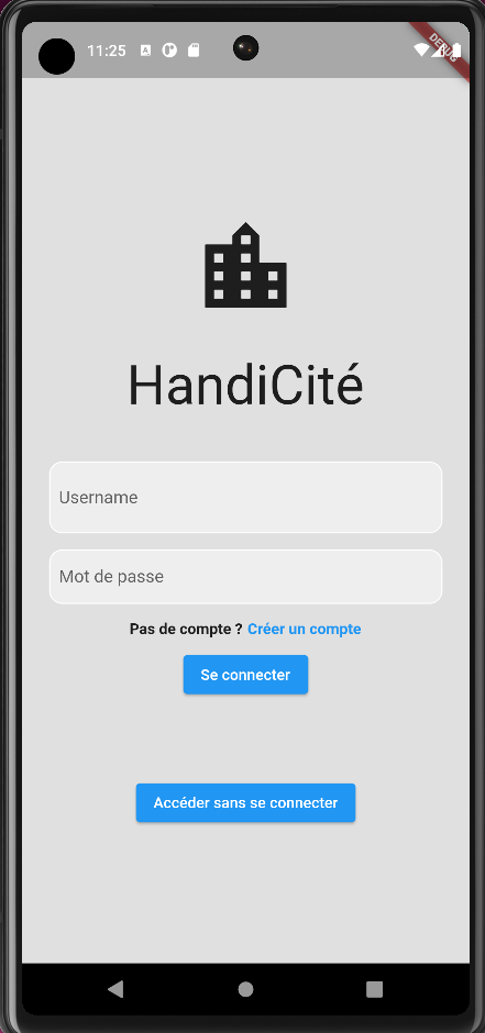
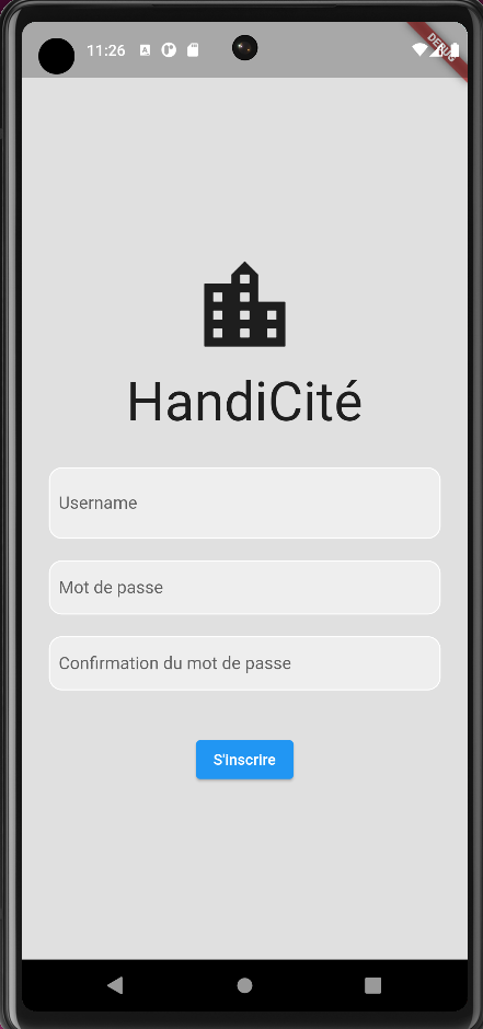
Authentication
Users have the choice to use the application without an account or to authenticate. An authenticated user has access to the following additional functions:
- map annotation
- delete annotations deemed irrelevant
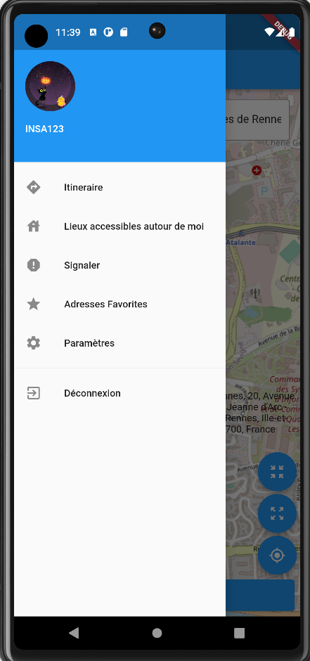
Itinerary
Handicité offers two routes to their users:
- route with the fewest possible obstacles, to facilitate the circulation of our users (under development)
- shortest route
Features under development:
- propose a route with the fewest possible obstacles, to facilitate the circulation of our users
- offer our users accessible places around them within a chosen radius.